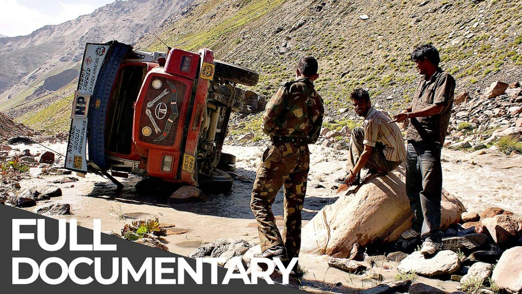
The Manali–Leh Highway is a 473 km high-altitude route through the Himalayas, connecting Manali and Leh via remote stretches and mountain passes. Its seasonal access, altitude, limited services and changeable weather make careful planning essential, but available sources do not establish it as one of the world’s most dangerous roads by a comparable safety ranking.
Route and usual travel season
The District Administration Leh describes the route through Manali, Rohtang, Keylong, Baralacha-la, Lachung-la, Taglang-La and Leh. It gives May/June to September/October as the usual access period. These are general seasonal dates, not confirmation that the highway is open on a particular day.


Snow, weather, maintenance or official closures can change access. Before travelling, check current updates from the relevant district administration, police and road authorities for your planned date. A past closure report is not a live road-status update.
Why the journey can be challenging
The route combines high altitude with remote sections where fuel and mobile coverage may be limited. Weather can change suddenly, and online maps may not be available throughout the journey. These documented conditions call for preparation; the reviewed sources do not provide a defensible route-specific crash or fatality figure or a measured global danger ranking.
#1 Best Overall
For broad regional context, Himachal Tourism warns that monsoon conditions in July and August can bring slippery roads, landslides and rockfalls. This is not a live bulletin for the Manali–Leh Highway, so check current local conditions rather than relying on general seasonal advice.
Plan for altitude and road conditions
The current Ladakh Tourism advisory recommends at least 48 hours of complete rest in Leh after flying there before travelling to higher-altitude areas. The Leh district page also advises air arrivals to rest for two days. If you have health concerns, seek professional medical advice.
- Check official road and pass status, weather and any applicable travel requirements for your intended date.
- Allow ample time, plan fuel stops in advance and consider carrying extra fuel where appropriate for your vehicle and trip.
- Plan to travel in daylight and avoid crossing passes at night, especially if you are unfamiliar with the route.
- Expect limited or sporadic mobile coverage; prepare for stretches where online maps may not work.
- At passes, follow current official guidance, dress in layers with windproof and waterproof outer layers, and stay clear of moving traffic when stopping for photographs.
Transport options
The Leh district page lists bus services and private taxis at both ends of the route. It does not confirm schedules, fares, operators or availability for a particular travel date. Verify those details locally before setting out.
Independent reader supportYour contribution helps us test, update, and keep practical guides available for everyone.Frequently asked questions
How long is the Manali–Leh Highway?
The District Administration Leh describes it as 473 km.
What’s actually slowing this PC down?
Pick the symptom - the matching free tool is one click away.
When is the Manali–Leh Highway usually accessible?
The Leh district page gives May/June to September/October as the usual access period. Weather, snow, maintenance and official closures can change conditions, so check current status for your travel date.
How can I check the Manali–Leh road status today?
Check current updates from official district, police and road-authority sources. General seasonal dates and reports of past closures cannot confirm whether the road is open today.
How long should I rest in Leh after flying in?
The current Ladakh Tourism advisory recommends at least 48 hours of complete rest before travelling to higher-altitude areas. The Leh district page also advises two days of rest for air arrivals.
Is the Manali–Leh Highway officially one of the world’s most dangerous roads?
The reviewed sources do not establish a comparable global safety ranking or provide a route-specific crash or fatality statistic. The route does have documented challenges, including high altitude, seasonal access, remote stretches, limited services and changing weather.
Quick wins for a faster PC:
Scan for outdated or missing drivers - takes under a minuteDriver Scan →Clear out junk files and repair common Windows errorsFree Scan →Quick Recap
Product prices and availability are accurate as of the date/time indicated and are subject to change. Any price and availability information displayed on Amazon at the time of purchase will apply.