A transit map can help people see a city as connected, but it cannot reopen routes or heal social divisions by itself. In Berlin, transport services and institutions changed after the Wall opened; the title’s idea of a map “healing” the city is best understood as a metaphor for making a reconnecting network legible.
Berlin’s transport links after the Wall opened
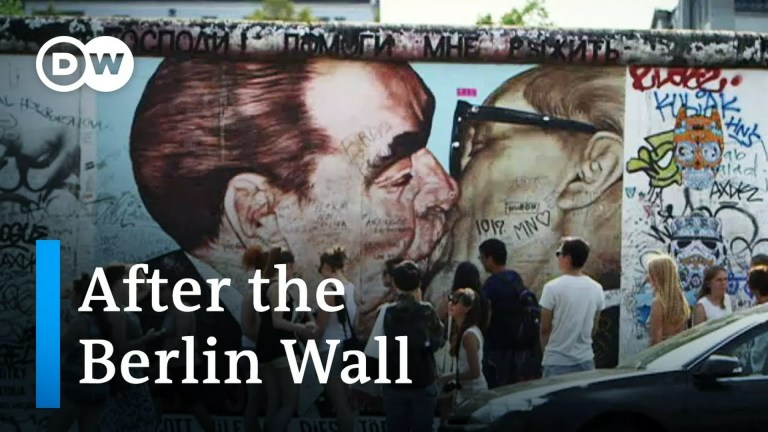
Berlin’s physical and political division shaped how people could travel across the city. BVG’s history describes transport changes after the Wall opened, including the reopening of closed U-Bahn stations and the start of bus services crossing between East and West Berlin. These were changes to transport operations, not simply to the way the network was drawn.


At a joint press conference on 12 June 1990, East Berlin mayor Tino Schwierzina said, “Wir sind jetzt schon eine Stadt” (“We are already one city”), alongside West Berlin mayor Walter Momper. The remark captures the period’s political language of unity, but it does not establish that a map caused transport reconnection or resolved divisions.
What the map can—and cannot—do
A map represents routes and connections; the transport network depends on services actually operating. A clear map may help riders understand how to navigate a shared system, but the available sources do not show that one map restored Berlin’s links or healed its social divisions.
Recommended Free Tools
#1 Best Overall
A secondary account of this story attributes the historical map to designer Erik Spiekermann and identifies a documentary called Berlin Map Story. Those details are not independently confirmed by primary documentation in the sources reviewed here. Claims about the design process, interviews, museum appearances, and wider influence should therefore be treated as unverified.
Where to find Berlin transit maps today
BVG provides current maps for S-Bahn and U-Bahn, buses and ferries, trams, and night services. These are practical resources for planning a journey, not the historical map discussed in this story. See BVG’s current network maps.
Berlin’s story is ultimately about more than a drawing: transport services and institutions had to reconnect on the ground. A map can make those connections visible, but it should not be confused with the work of rebuilding them.
Independent reader supportYour contribution helps us test, update, and keep practical guides available for everyone.FAQ
Who designed the historical Berlin transit map?
The secondary account associated with this story names Erik Spiekermann, but the available sources do not independently verify that attribution through primary documentation.
Did a map reconnect East and West Berlin?
No evidence in the sources establishes that a map itself reconnected the city’s transit. BVG’s history describes operational changes after the Wall opened, including reopened U-Bahn stations and cross-city bus services.
What happened to Berlin’s transit after the Wall opened?
BVG’s history says closed U-Bahn stations reopened and buses began crossing between East and West Berlin. These service changes are distinct from how a map represented the network.
Where can I find a current Berlin transit map?
BVG offers current downloadable maps covering rail, buses, ferries, trams, and night services on its network maps page.
Quick Recap
Best Value
Product prices and availability are accurate as of the date/time indicated and are subject to change. Any price and availability information displayed on Amazon at the time of purchase will apply.
What’s actually slowing this PC down?
Pick the symptom - the matching free tool is one click away.